The function joins ports locations using data from ports buffers. mx_ports data is used which is
provided by INEGI https://en.www.inegi.org.mx/
Arguments
- x
a data.frame with latitude and longitude coordinates
- mx_ports
is a shapefile of point data storing coordinates of ports and marina in Mexico, you can upload this using
data("mx_ports")- buffer_size
a number (double) indicating the size of the buffer for the ports to implement
Examples
# With sample data
data("sample_dataset")
data("mx_ports")
vms_cleaned <- vms_clean(sample_dataset)
#> Cleaned: 969 empty rows from data!
# It is a good idea to subsample when testing... it takes a while on the full data!
vms_subset <- dplyr::sample_n(vms_cleaned, 1000)
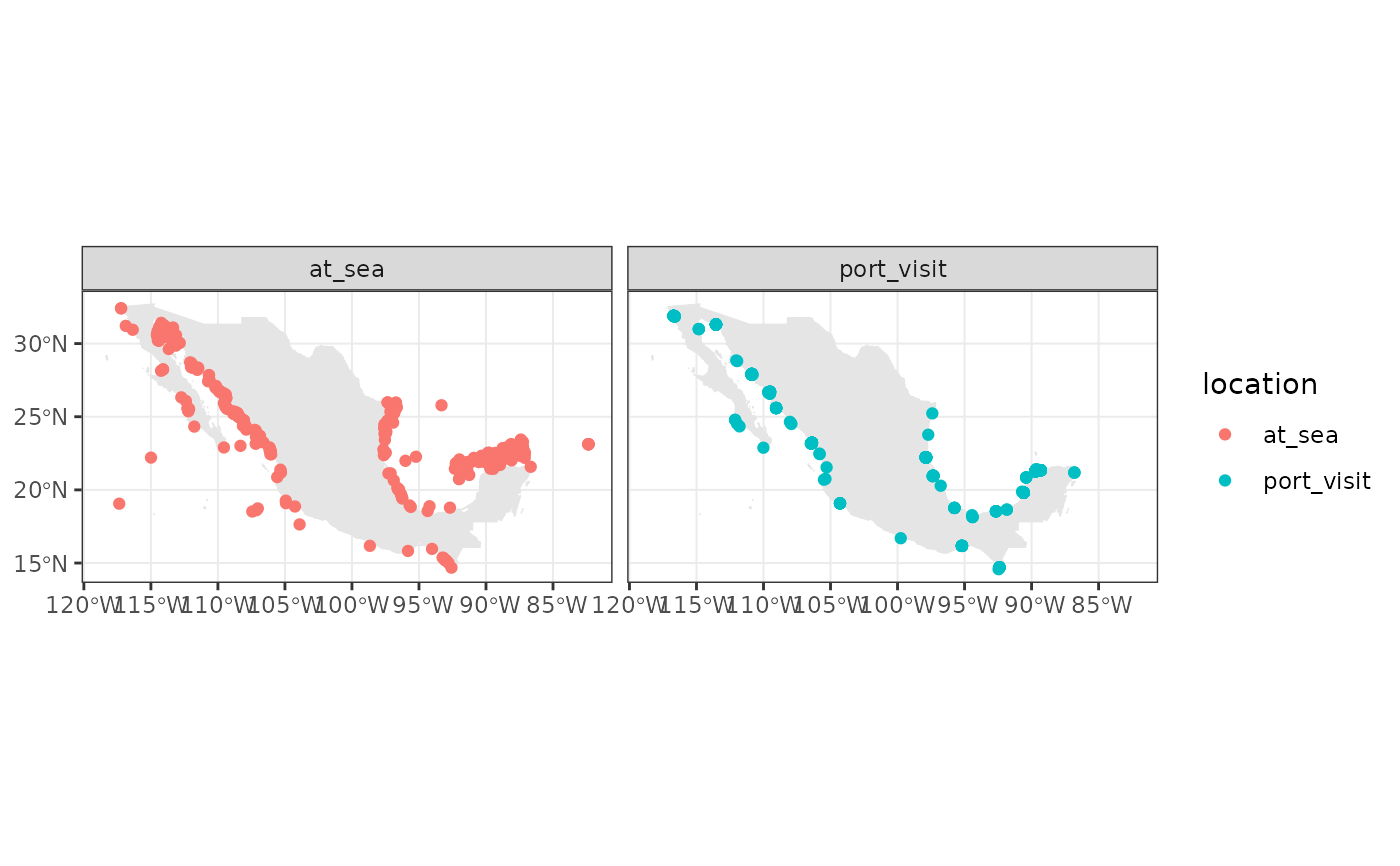
with_ports <- join_ports_locations(vms_subset)
#> Warning: st_buffer does not correctly buffer longitude/latitude data
#> dist is assumed to be in decimal degrees (arc_degrees).
#> although coordinates are longitude/latitude, st_union assumes that they are
#> planar
#> although coordinates are longitude/latitude, st_difference assumes that they
#> are planar
#> Warning: attribute variables are assumed to be spatially constant throughout all geometries
with_ports_sf <- sf::st_as_sf(with_ports, coords = c("longitude", "latitude"), crs = 4326)
data("mx_shape")
library(ggplot2)
ggplot(mx_shape) +
geom_sf(col = "gray90") +
geom_sf(data = with_ports_sf, aes(col = location)) +
facet_wrap(~location) +
theme_bw()